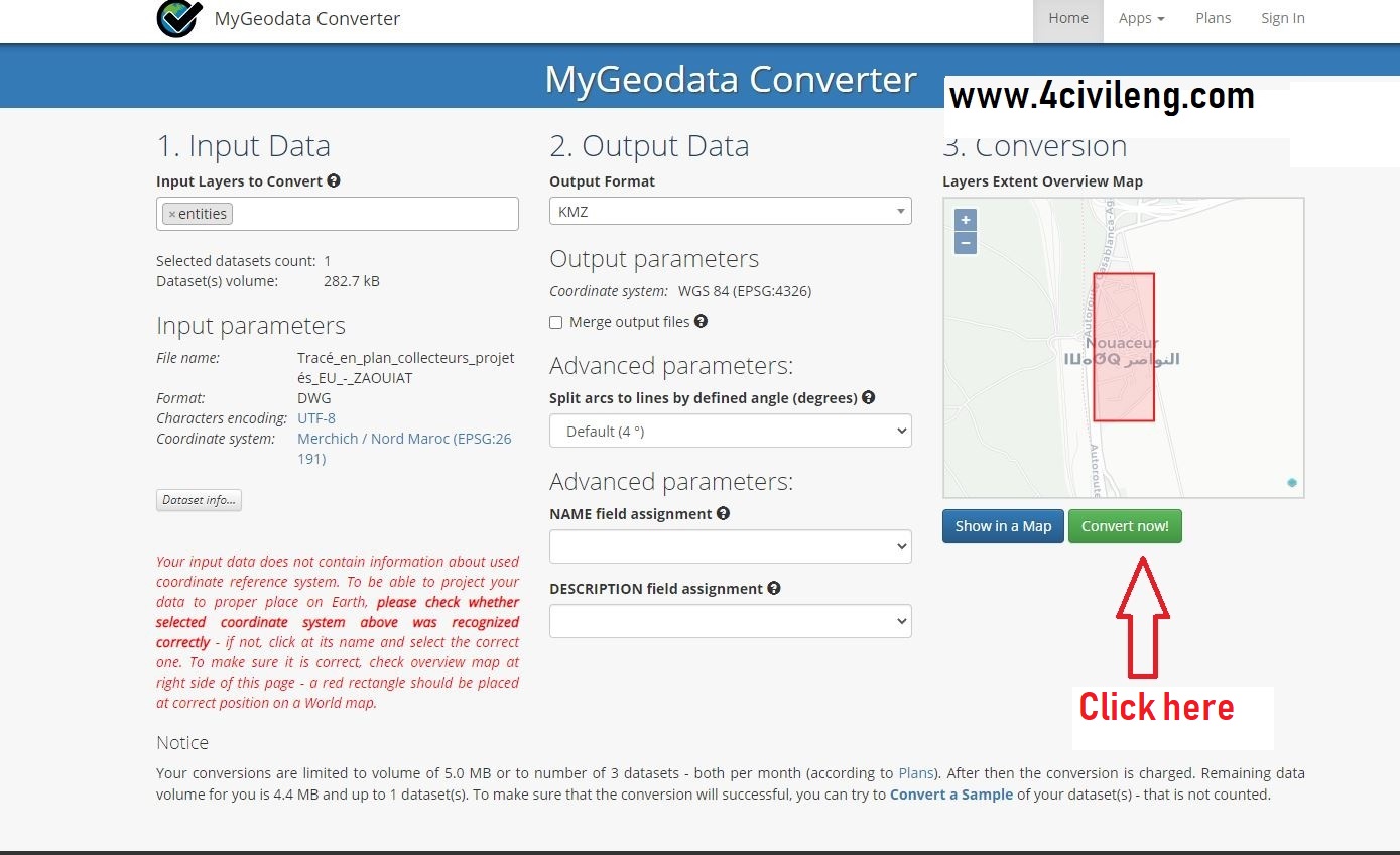
Convert from dwg to kmz or kml online
I have found an interesting site for you to convert a dwg file drawn on Autocad and georeferenced according to Lambert coordinates to a file usable on Google Earth, with kmz or kml extensions online. The site is as follows: https://mygeodata.cloud/result
This tool is simple to use online and requires knowledge of the local coordinate system. To do this, simply enter your country or go to the following site https://epsg.io/.
Find below the whole explanation step by step.


0 comments